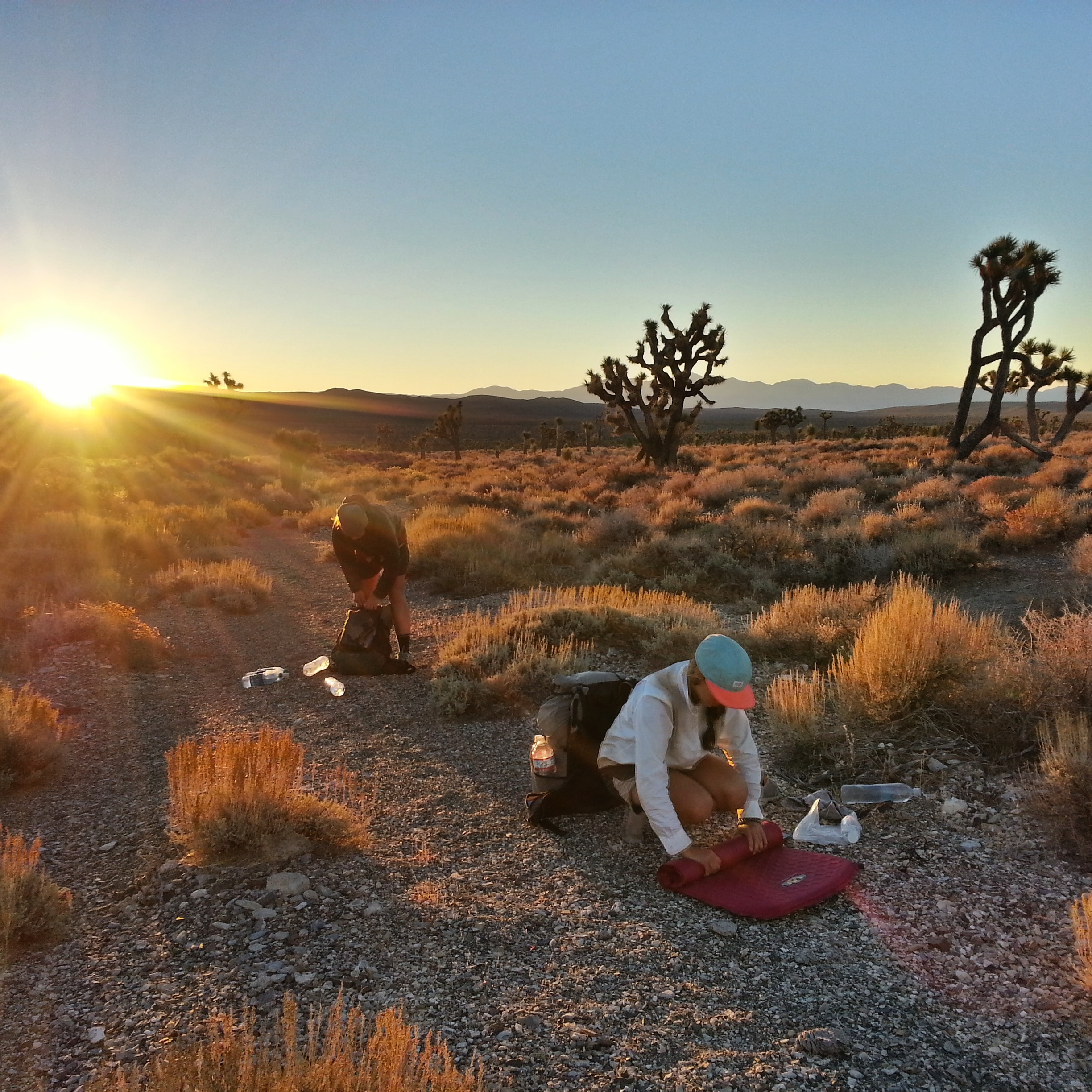
In the first week of October, 2014, I hiked from Badwater Basin in Death Valley, at -282 feet elevation, to the top of Mount Whitney, at 14,505 feet, along what’s known as the Lowest to Highest Route. This route, created by Brett Tucker, is 135 magical miles of cross-country navigation, faint animal trails, cairn trails, and jeep roads. I did this hike with NotAChance and Jess, who are good friends and also experienced long-distance hikers. We crossed three mountain ranges and traversed three baking desert valleys. I suffered on case of heat exhaustion and one puncture wound. We saw one UFO, the poop of countless wild burrows, and one bear. The highest temperature we experienced was 115 degrees Fahrenheit- the longest waterless stretch was 45 miles. The three of us reached the summit of Mt. Whitney, the highest point in the lower 48, in six days.
For technical information on this route, go here.
A piece I wrote in response to people emailing me, asking for advice on this route: Helpful Tips for the Lowest to Highest Route
My day-to-day journal:
L2H Part One: Don’t Fear the Reaper
L2H Part Two: Mystical Water Fortresses and an Unbound Freedom I Didn’t Know Existed
L2H Part Three: Heat Exhaustion and Magical Desert Goldfish
L2H Part Four: UFO
L2H Part Five: Inyo Mountains, Hikin Yo Trails
L2H Part Six: Triumph

You must be logged in to post a comment.