
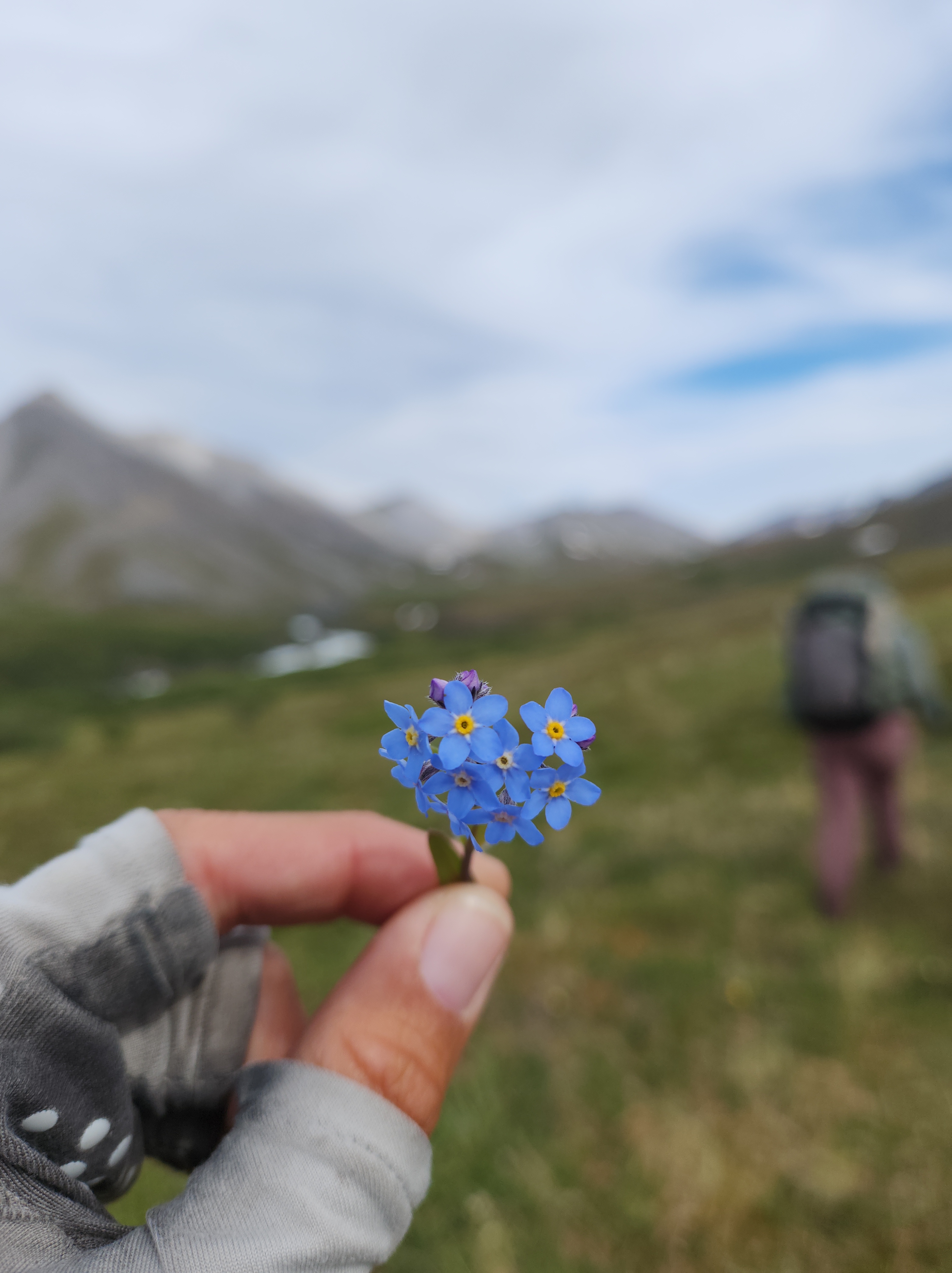
The best ridgewalking imaginable, in one of the most remote places on earth. Waterfalls, epic passes, tiny tundra flowers. Hundreds of caribou trails but not a single human trail. Accessible only by bush plane. This is the western end of Alaska’s Brooks Range, and I’m offering two nine-day guided backpacking trips there in 2027- one trip for women, trans and non-binary people, and one trip that’s open to everyone.
We’ll be walking near National Petroleum Reserve (NPR-A), an extremely wild and untrammeled 23-million acres of Iñupiat land that Trump just opened for oil and gas leasing. It’s easy to destroy a chunk of land if very few people know about that chunk of land or have a relationship to it; my hope is by taking hikers to this area I can help bring awareness to its awesomeness, and this will contribute to the pushback against development there. You can learn more about the fight to protect the western arctic here.
Please read this whole page before applying.
Reviews from past participants of my guided trips are here.
Info about my other 2027 guided trips is here.
Deets:
Two sessions, nine days each (seven days of hiking, one day in Anchorage before and one day in Kotzebue after).
Session one: June 13-21, 2027 (for women, trans and non-binary people)
Session two: June 24-July 2, 2027 (open to everyone)
Each trip will have five hikers and me, the guide.
Cost: $4450 (paid all at once or via payment plan of $445/month, with the remainder due before the start of the trip).
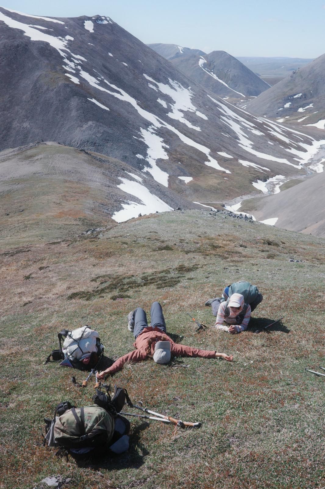
The Brooks Range is a mountain range that runs 600 miles east-west across the Alaskan Arctic, from Canada to the Chukchi sea. It’s bisected by only one road, the Haul Road aka the Dalton Highway, that carries supplies north to oil drilling on the arctic ocean. The Brooks Range is one of the least developed places left on Earth. It is also the traditional home of Iñupiat and Athabascan peoples; these people still live there, have autonomy and practice their subsistence lifestyles, and some non-native people live in villages in the Brooks Range as well. The villages in the Brooks Range that are not on the Haul Road are only accessible by plane, boat, dogsled or snowmachine. The Brooks Range is also home to thousands of caribou, as well as grizzlies, wolves, wolverines, etc. Much of the Brooks Range is north of treeline; the mountains are rolling and green, the walking is along braided riverbeds or across boggy, squishy tundra. There are fewer bears in this part of Alaska than more southern parts of the state, and the relative lack of brush makes the bears easier to avoid. Summer is short and summer weather is random, even moreso now with climate change; it might be 80 degrees Fahrenheit one day, and snowing the next.
The Brooks Range has no established trails or routes. This is intentional- to travel via foot or packraft in the Alaskan Arctic one must create one’s own route- both to ensure that the traveler is experienced enough and familiar enough with the terrain to stay safe, and for the sheer fun of it- there aren’t many places left in north America without established trails or routes, and so it’s cool to have a place where you still have to do the legwork yourself. Those who do create routes in the Alaskan Arctic are discouraged from sharing those routes online.
The Brooks Range may be remote, but it’s also a fairly straightforward place to create a cross-country route, once you have some understanding of the terrain and also know how to create routes. In this course/backpacking trip combo, I’ll teach you how to create a route using caltopo, we’ll work together to create a seven day trip in the Brooks Range (that fits certain parameters), and then, we’ll hike it!
A note: I talk about “creating one’s own route” but no route exists in a vacuum; in North America, how to get from point A to point B is knowledge that has been held for generations by the indigenous people of any given area (the best ways over certain passes, which valleys are the least boggy for walking, etc) and so any information we gather about how to walk over the land is information that originated, at some point, from those people, even if we get it from non-native sources. For this reason, “creating one’s own route” is not about doing-it-yourself but rather about being in relationship- with the communities that know and live in an area, as well as with the area itself.

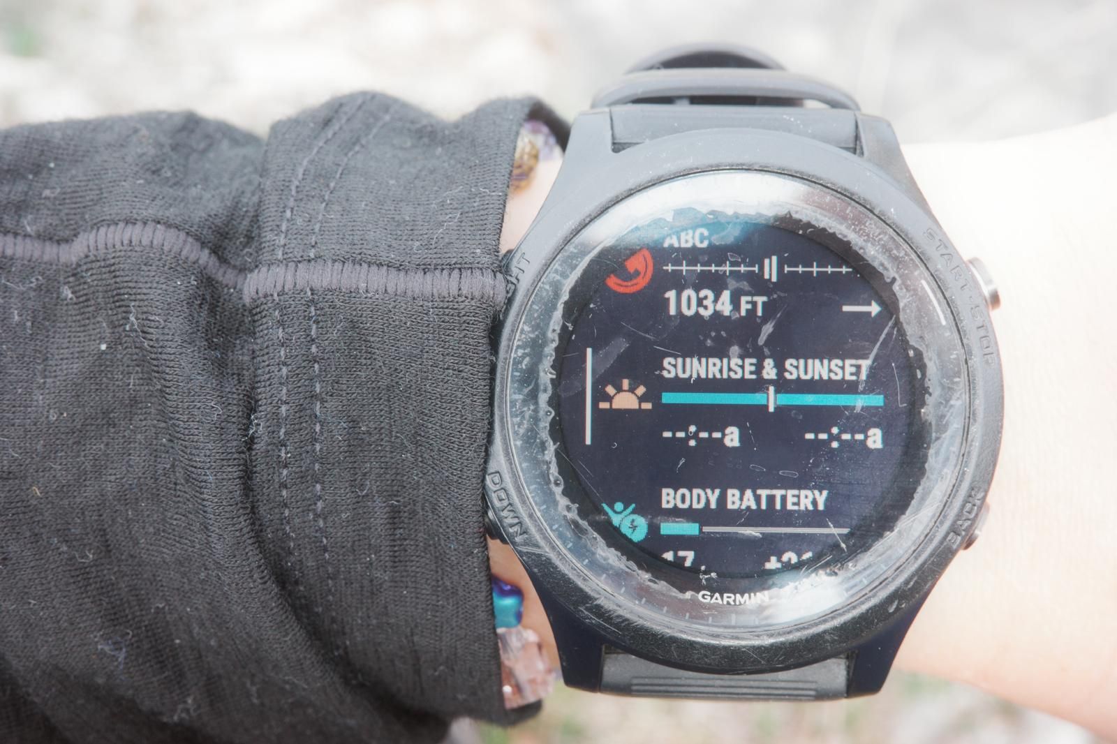
This trip is for backpackers in good hiking shape. Hiking fitness is very important for these trips, as the terrain makes for hard walking. I ask that hikers work up to walking/running/hiking at least 25 miles a week before this trip.
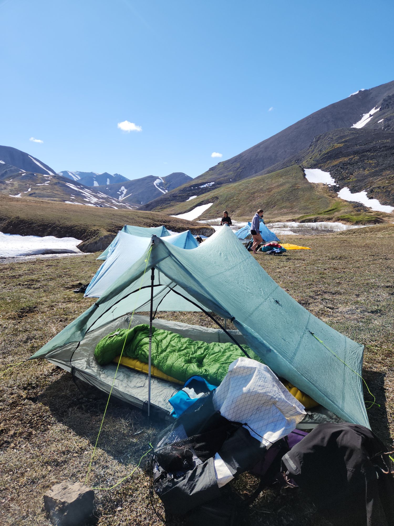
Pack weight is also an important consideration for this trip; carrying a too-heavy pack on uneven terrain can lead to injury. I ask that hikers get their base weight (everything they’re carrying except food, water and fuel) down to 17lbs or less for this trip. If you don’t already have light gear, I will help you with this in the zoom calls! We can come up with a gear list that’s just right for you. I also have some lightweight loaner gear- packs from Superior Wilderness Designs and Durston X-mid shelters.
I require that each hiker pack at least 2,500 calories/day for this trip. If you don’t have experience planning your own backpacking menu, that’s fine! We can use the zoom calls to put together a menu that’s just right for you (with options for dietary restrictions).
Before the trip starts we’ll meet in Anchorage and spend the night in a rental house that I’ll book for the group; that evening we’ll go over our food and gear, download our maps, test our inreaches and run any last minute errands. I’ll take everyone out for dinner that evening (we’ll agree where to go as a group, and there will be options for everyone’s dietary restrictions). We’ll fly to Kotzebue on day two and meet our bush pilot, who will shuttle us to the start. On the seventh day of hiking, our bush pilot will pick us up and bring us back to Kotzebue, where we’ll stay the night at a rental house. Everyone can shower, and we’ll visit one of the local restaurants for dinner. (Due to the limited options with rental houses in Kotzebue, there may not be enough beds for everyone/some of us may be sleeping on the floor on our sleeping pads.) The next morning we’ll fly back to Anchorage, and the trip will end. We’ll hike for seven days, and including the day beforehand in Anchorage and the day we fly back to Anchorage it’s a nine day trip.
In the months before the trip I’ll spend two hours with each hiker in zoom; we’ll go over your food and gear to make sure you’re prepared, come up with a training plan if that’s helpful, and I’ll teach you to make cross-country routes in caltopo; I’ll share the parameters of our route (starting point, miles per day, etc) and you’ll make a route. I’ll combine the routes of everyone in the group and from that we’ll choose our final route (with alternates for weather, etc)- and that is what we’ll hike.
Because we’ll be getting dropped off and picked up via bush plane, these trips will require some flexibility and a sense of adventure; weather is unpredictable in the Arctic in summer, and in certain kinds of weather we may not be able to fly; for this reason our bush flights in and out of our hiking location may be delayed and I also have backup permits to several other weather systems in Alaska (Gates of the Arctic National Park, Denali State Park and Chugach State Park), so if the weather in our intended destination is bad enough we may end up hiking somewhere else entirely. While this can be disappointing, we will end up somewhere insanely beautiful, and you will have an epic and challenging time.
Deets:
Two sessions, nine days each (seven days of hiking, one day in Anchorage before and one day in Kotzebue after).
Session one: June 13-21, 2027 (for women, trans and non-binary people)
Session two: June 24-July 2, 2027 (open to everyone)
Each trip will have five hikers and me, the guide.
Cost: $4450 (paid all at once or via payment plan of $445/month, with the remainder due before the start of the trip).
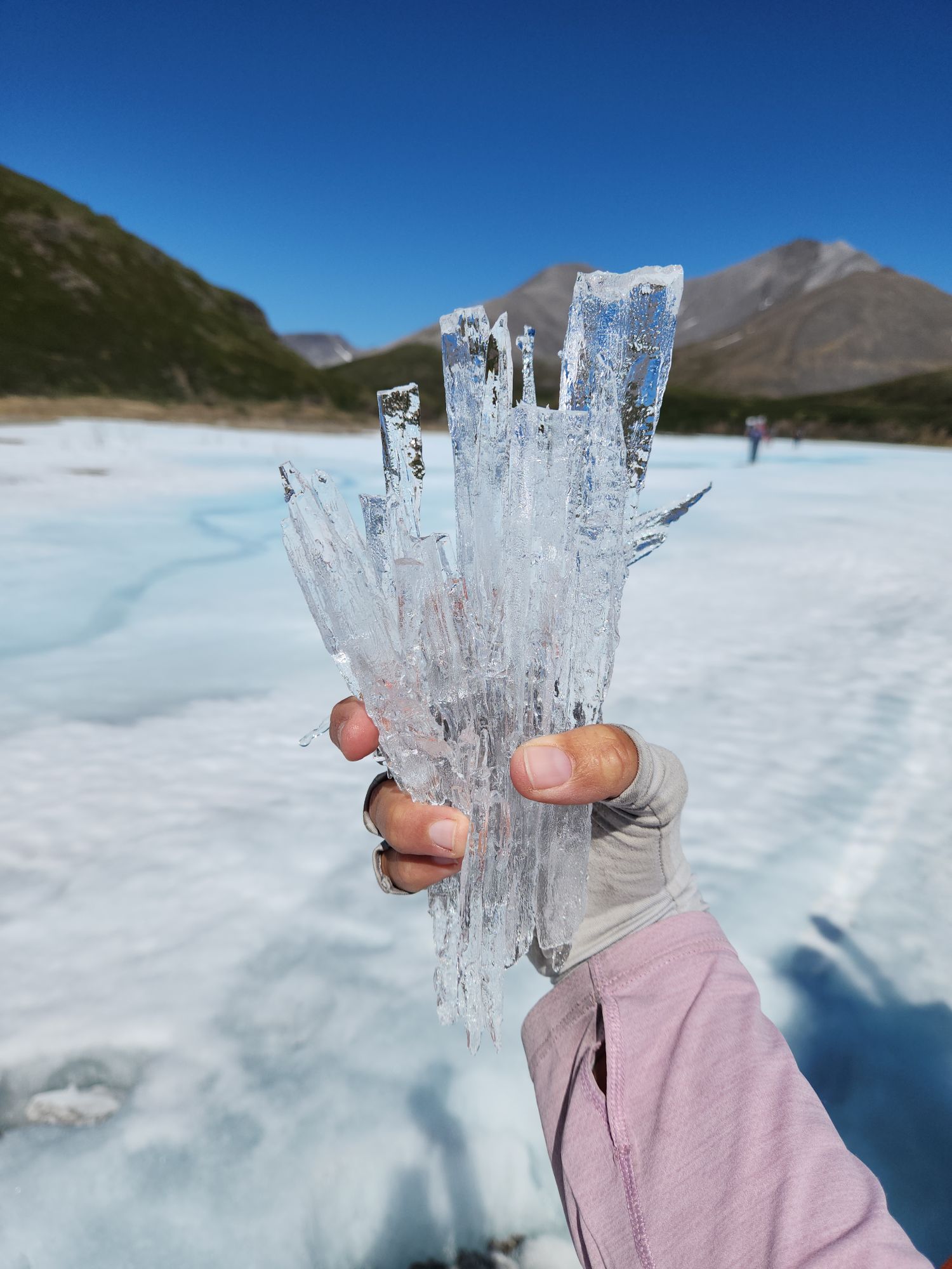
Itinerary:
In the months before the trip: I’ll meet with each hiker on zoom; two one-hour one-on-one sessions and a final group call. We’ll go over your food, gear and training. I’ll teach you to make cross-country routes in caltopo, give you the parameters for our route (starting point, miles per day, etc) and you’ll make a route. I’ll combine everyone’s routes and in the final group call we’ll create the route (with alternates for weather) that we’ll hike!
Day one: We’ll meet in Anchorage by 2pm at our rental house. The house will have beds for everyone, although some rooms will be shared. I’ll take everyone out for dinner (with options for dietary restrictions) and we’ll go through all our gear and food, test our inreaches and download our maps, and run any last-minute errands.
Day two: In the morning I’ll drive everyone to the airport and we’ll catch our Alaska Airlines flight to Kotzebue (this is a commercial flight that you’ll book in advance and is generally about $170 each way). In Kotzebue we’ll meet our bush pilot, who will fly us to our starting point. We’ll plan on hiking just a few miles on this day, to allow for late arrival.
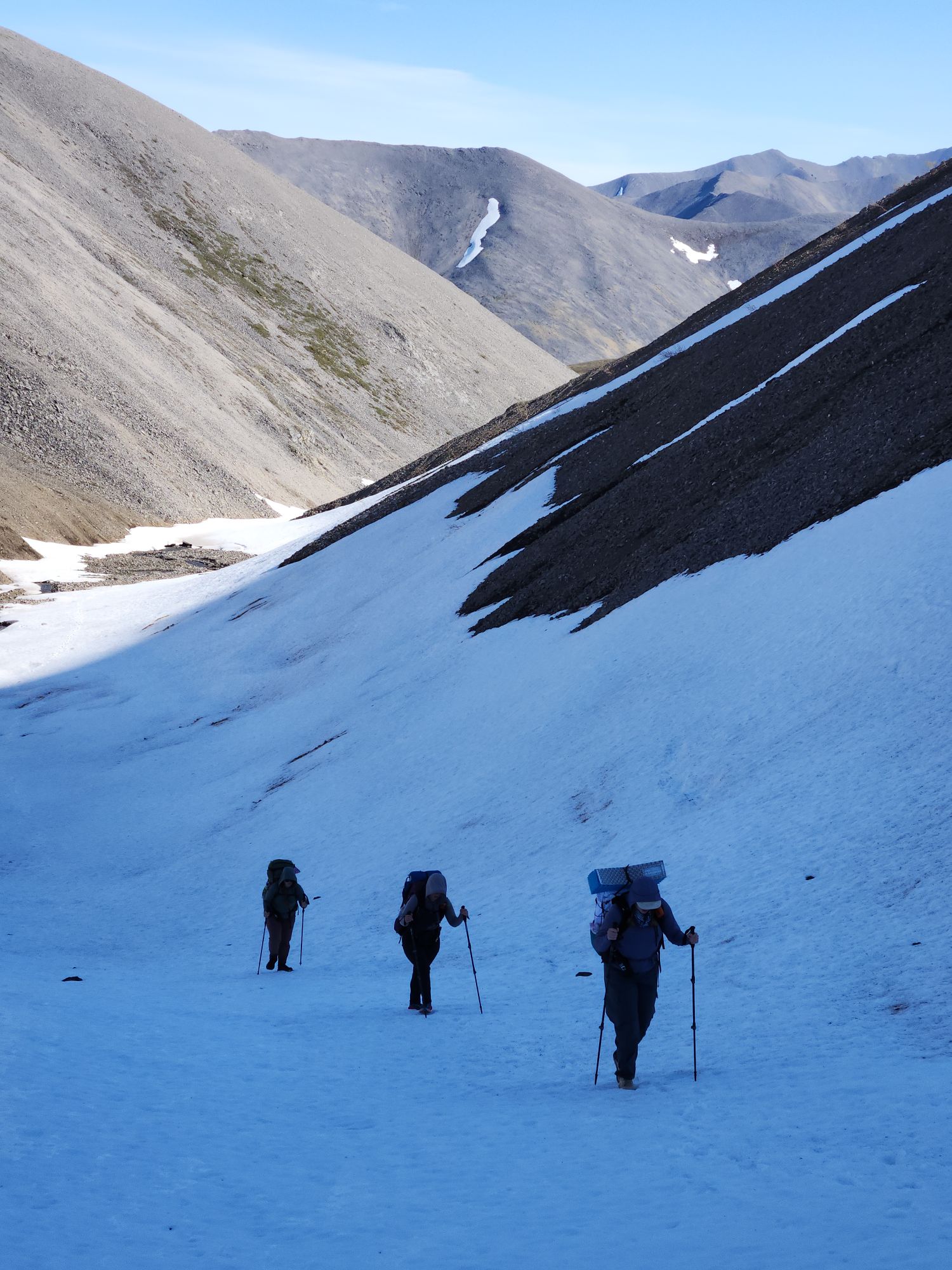
Day three: We’ll start hiking at 8 am and hike 6-10 miles, depending on terrain, weather and group energy level. We’ll take plenty of breaks to snack, rest and practice navigation. We’ll adjust our route constantly (ridgewalking vs. staying low, for example). We’ll take a one-hour lunch break. Our elevation gain will be about 3,000 ft/day. We’ll reach camp by 7pm.
Days 4-7 will be the same as day 3.
Day eight (day seven of hiking): After just a few miles we’ll arrive at our pickup point, and our bush pilot will shuttle us back to Kotzebue. We’ll check in to our cozy rental house, where everyone can shower. (Due to the limited options with rental houses in Kotzebue, there may not be enough beds for everyone/some of us may be sleeping on the floor on our sleeping pads.) We’ll visit one of the local restaurants for dinner (everyone will pay for their own dinner).
Day nine: In the morning we’ll catch our Alaska Airlines flight from Kotzebue back to Anchorage, and the trip will end.
What’s included in the trip:
- Two hours of one-on-one zoom calls with me in the months before the trip, where I’ll help you figure out your gear, food and training as well as teach you to make cross-country routes in caltopo, as well as a third group zoom call where we’ll decide on our final route
- Some loaner gear- A Superior Wilderness Designs pack and a Durston x-mid 1 shelter (loaner gear requires a deposit and there are only three x-mid shelters, so sign up soon if you’d like to borrow one)
- Lodging in Anchorage the evening of day one, the night before we fly to Kotzebue
- Dinner in Anchorage on day one
- A ride to the airport on day two, for our Alaska Airlines flight to Kotzebue
- Our chartered bush flight from Kotzebue to our starting point in the western Brooks Range
- Our bush flight from our ending point back to Kotzebue
- Lodging in Kotzebue the evening of day eight, before we fly back to Anchorage on day nine
- Bearspray
What’s not included in the trip:
- Your hiking gear (except for the loaner gear), your hiking food
- Your ride to our rental house in Anchorage on day one
- Your Alaska Airlines flights between Anchorage to Kotzebue (you’ll book these yourself)
- All meals except dinner on day one
- Your paid subscription to caltopo
- Travel insurance (highly recommended)
FAQ
Who are these trips for? These trips are for people with good hiking fitness (I ask people to work up to walking/running/hiking at least 25 miles/week before the trip) who either already have backpacking gear or are willing to build a gear list and menu for this trip. I do ask that all hikers have a base weight (everything you’re carrying except food, water and fuel) of 17lbs or less while still having everything they need to stay warm/dry/safe for the weather we might encounter. I also ask that you carry at least 2,500 calories of food/day. I will help you with all of this in our zoom calls! Building your gear list might be an additional cost for you.
What is the terrain like? While the Alaskan arctic is generally lumpy and often boggy, I do my best to keep us above the bog, even if it means more elevation gain and fewer miles per day. I believe that an eight mile day on steep ridges, although cardiovascularly difficult, is much better than a fifteen mile slog through tussocks. Occasionally weather will force us lower into the sucking bog but we’ll do our best to stay above it. We’ll be north of treeline so there will be no trees, and only occasional brush. Due to stream crossings and spongy ground, our feet will be wet all day.
What weather can we expect? The Alaskan arctic in summer runs the gamut, from eighty degrees and 24/7 sunshine (with no shade at all!) to freezing rain and winds strong enough to shred your shelter guylines, and even light snow. We’ll watch the forecast closely as the trip approaches- the forecasts here are never accurate more than a few days out- some bad weather over the course of seven days is ok, but if the forecast is seven days of solid hypothermia rain (or worse), we’ll go to one of my alternate locations in Gates of the Arctic National Park, Denali State Park or Chugach State Park (making the decision as a group based on the forecast in these alternate weather systems, as well as other factors). There are mind-blowingly excellent routes to hike in these locations too, and I prefer to go somewhere we can actually see the view (at least part of the time) than to fight hypothermia and stay low in the bog for seven days just to say we went to a certain spot.
How important is the navigational aspect of the trip? Very important. Aside from creating a route beforehand and helping decide on our final group route, each hiker will be expected to help with navigation while on the trip itself. We’ll be navigating constantly, making endless minute route decisions based on weather, terrain, and group energy level. Being oriented to the land is key for staying safe in such a remote environment, and every hiker will participate in navigation.
What about bears? The bears in the Brooks Range are mostly grizzlies, and there are fewer of them than in other parts of Alaska, since there aren’t any salmon runs where we’ll be. Since we’re north of treeline and there isn’t much brush on our route, it won’t be hard to see them at a distance and give them lots of space. The bears in the Brooks Range aren’t habituated to human food, and although they might not know what we are at first, once they smell us they tend to run away. We’ll each be carrying bearspray, which we’ll keep handy. If we do walk through brush we’ll make lots of noise. At night we’ll cook away from our tents and store our food in ursacks, also away from our tents. Unlike other parts of Alaska, it’s extremely rare for bears to be an issue in the Brooks Range.
What about water crossings? There won’t be any dangerous water crossings on our route. We’ll bring waterproof socks we can put on if we end up walking up the braids of a creek, to keep our feet warm (the water is super cold).
What about mosquitos? The mosquitoes may or may not be bad, depending on the day. We’ll bring mosquito headnets just in case.
Should I get trip insurance? Yes, I highly recommend it!
What special gear is required for this trip? Besides the general three-season backpacking gear of the sort you’d use for a high mountain environment where it can be cold and snow even in summer (but also very hot and sunny)(I’ll help you put this gear list together in our zoom calls!) for this trip you’ll bring:
- An inreach (or the newest iphone, which has satellite texting capability)
- Waterproof socks for the creek walking bits (this brand is inexpensive and is what I use)
- An ursack that can hold all your food
- A paid subscription to caltopo (this allows you to download maps for offline use)
I’ll provide bearspray. Although we can’t bring canister fuel on our flight from Anchorage, we can purchase it from the pilot in Kotzebue, so a canister stove is fine.
Do you offer a payment plan? Yes. If you’d rather not pay the full amount upfront, you can sign up for automatic payments of $445/month, with the remainder due before the start of the trip.
Do you offer refunds? I do not offer full refunds as it’s too difficult to fill spots at the last minute, but if you decide not to join at any point you can cancel your payment plan, and you won’t owe the remainder.
When will the zoom calls take place? Most of the zoom coaching, route planning and online group meetups will happen in March, April and May, and I’ll work with you to find times that work for your schedule.
What is the application process? The application is free. I’ll reach out to you within a few days of your application, and we can talk about the trip more- if the trip seems like a good fit for you, I’ll send you the link to register.
Can I read reviews from past participants of your guided trips? Yes! Those are here.
Feel free to email me with any questions at carrotquinn4@gmail.com !
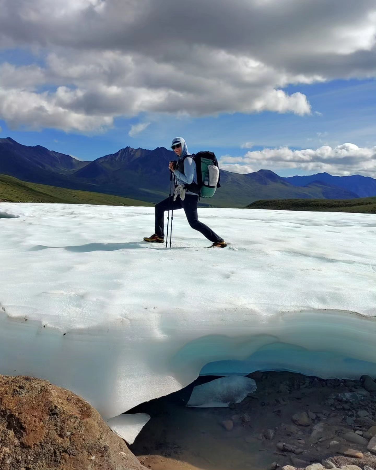
About me: I’ve long-distance hiked eleven thousand miles, including the Pacific Crest Trail (twice, the Washington section four times), the Continental Divide Trail, the Hayduke Route, the Lowest to Highest Route (2.5 times), the Mogollon Rim Trail, the Kings Canyon High Basin Route, the Tahoe Rim Trail, the Arizona Trail, the Wind River High Route, as well as months walking in the Brooks Range on routes I created myself. Through my guiding business I’ve led education-based backpacking trips in Arizona, Utah and Alaska. I have my Wilderness First Responder certification. I LOVE sharing my love of long-distance hiking with others.


You must be logged in to post a comment.